Recreation Map of the South-Central Okanagan
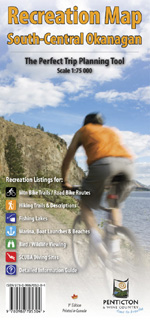
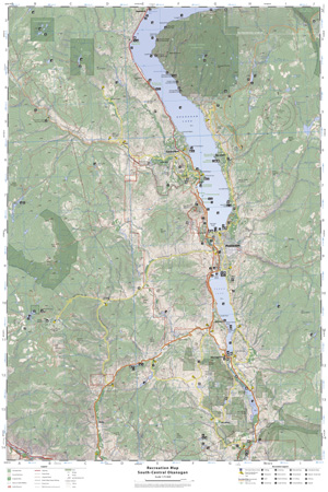
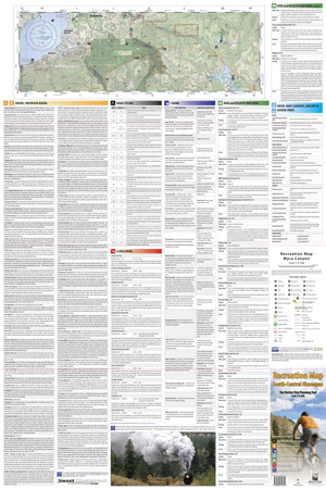
Recreation Map of the South-Central Okanagan is a full-colour double-sided topographic map that is an invaluable guide to hiking, cycling, fishing, bird-watching, boating and scuba diving in BC's burgeoning Okanagan Valley. The map folds out to a 24"x36" layout showing recreation sites in south-central Okanagan, including the famous Kettle Valley Railway trail. See below for a close-up look at the South Central Okanagan Recreation Map. Price: $9.95 |
 |
|
 Click map image to zoom! |
 Click map image to zoom |
|
Buy online!
